(It is pronounced “d’ shay”. I asked at the visitor center. The Navajo people call it Tseyi (and call themselves Dine (with an accent over that e)))
Two national parks in one day? Are we marathon tourists, or what? As always, our first stop was the visitor center to watch the movie and get the lay of the land. After watching a most-beautiful movie, we decided to take a guided tour. That is the only way to actually get into the canyon. If you drive on your own, you must take the rim drive and look down into the canyon from the overlooks.

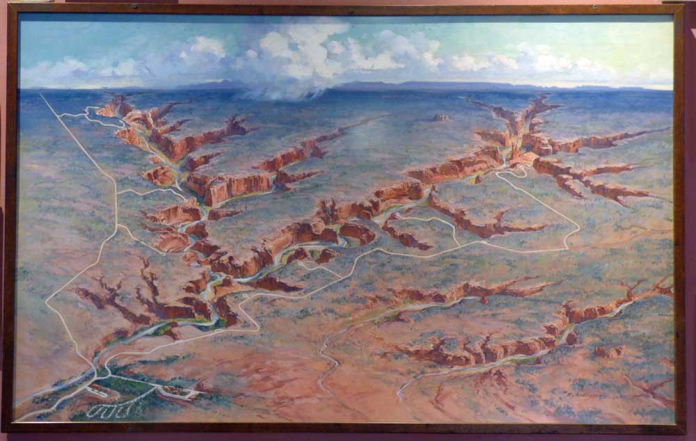
This beautiful painting on the wall really gives you the big picture of the extensive canyon and its many branches. It did not, however, help me with my bearings once we were inside. We took the four-hour Sunset Tour that started at four o’clock and did not see all of it.
You can read a little history here.
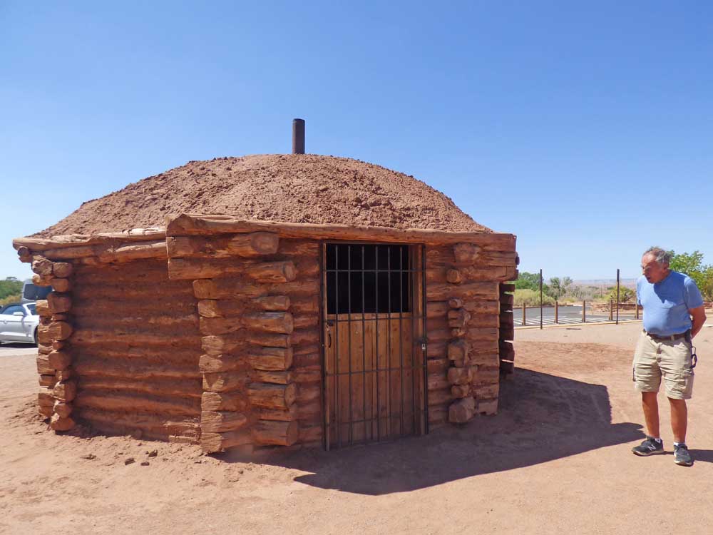
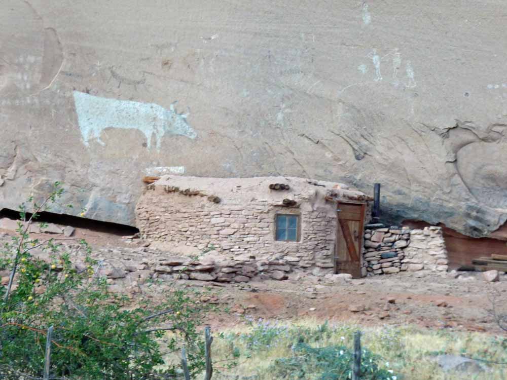
This little hut was outside the visitor center. We saw others in the canyon, from a distance.
It looked nice and cozy inside.
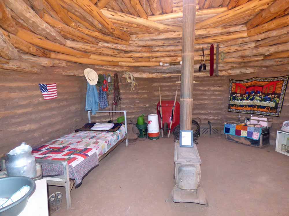
This may be one of the most awesome ceiling/roofs I have ever seen.

We had time for lunch before the tour so we ate in the lodge cafeteria. I ordered what was billed on the menu and an “authentic, Navajo taco”. Yeah, that’s on a dinner plate. It was a large piece of fry bread overhanging the plate and covered with beans, lettuce, shredded cheese, tomato, and onion. The fry bread was very light, like a soft dinner roll. No way I could eat the whole thing, so I left the soggy center of the fry bread. Oh yes, I almost ate the whole thing.

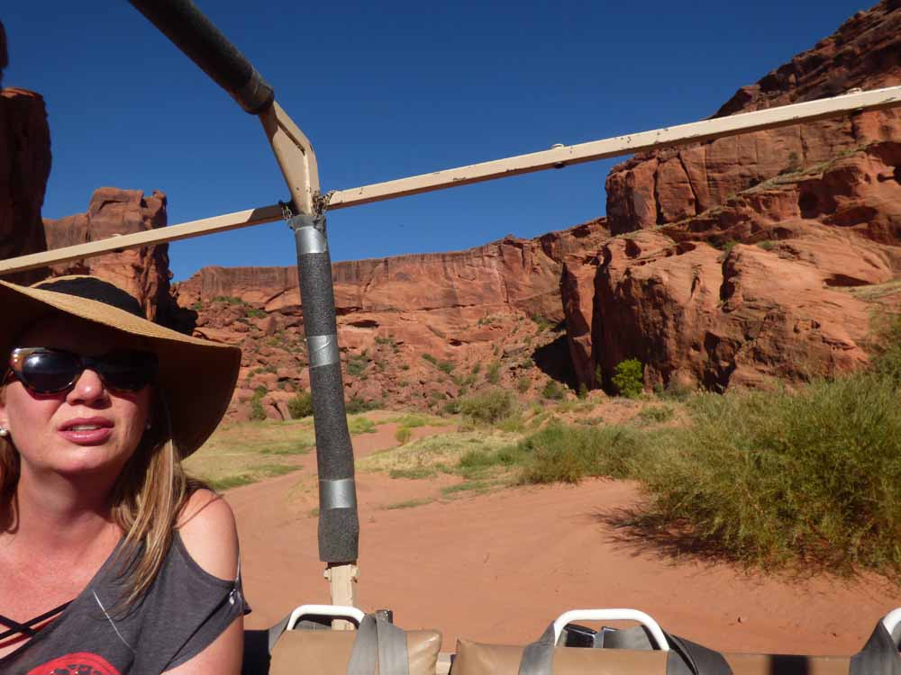
There were only three other people on the tour with us, a delightful family from Arizona.

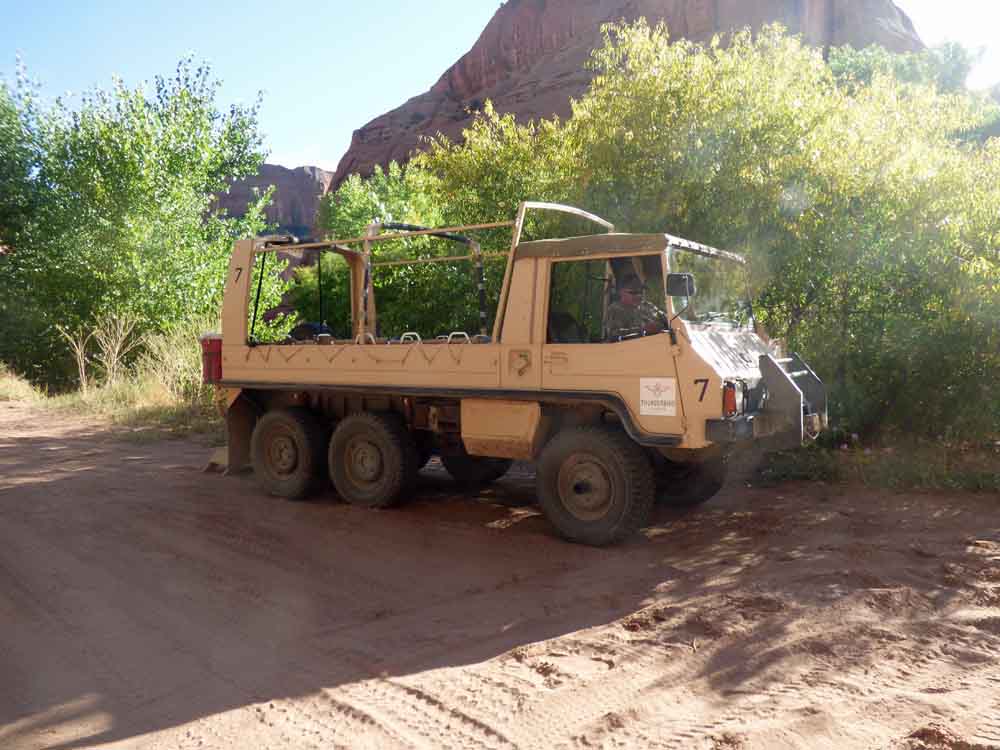
This is our tour guide. He needed those big gloves to wrangle the steering wheel as he plowed through the soft sand for four hours.

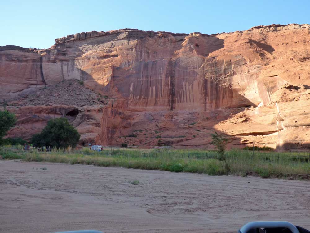
The entrance to the canyon was like a beach. The sand was white, soft, and deep. It is a river bed when the rains come.

It took constant shifting and steering to keep the truck going through the sand.

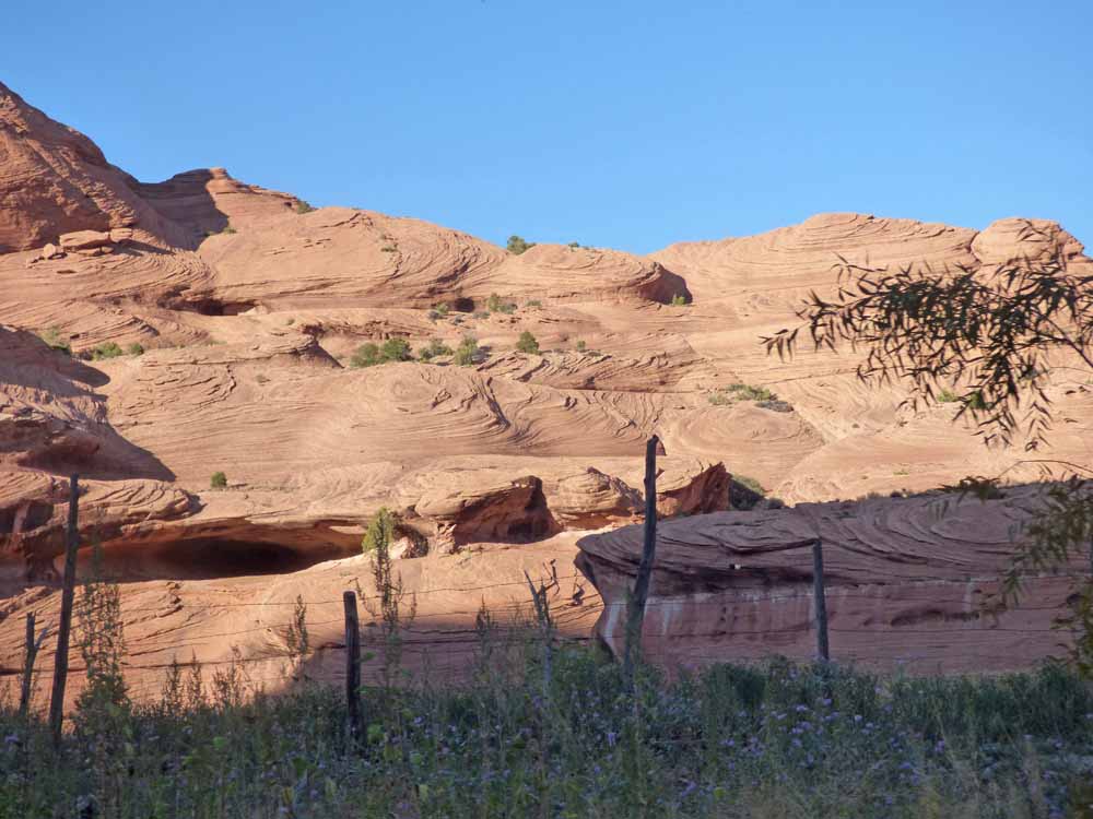
The canyon walls were not too high at first.
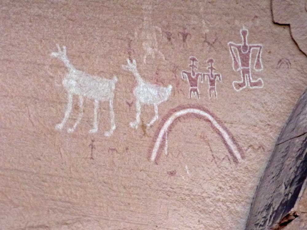
Our guide stopped for us to look and take pictures whenever there was something interesting to see (besides beautiful scenery). These are petrographs (drawings rather than etchings (petroglyphs). The squiggly line is water. Handprints, either patted on or sprayed around and hand) are common in the canyon.

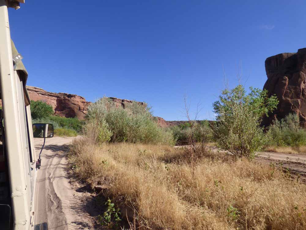
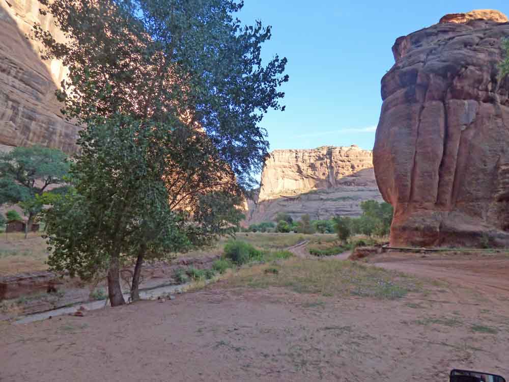
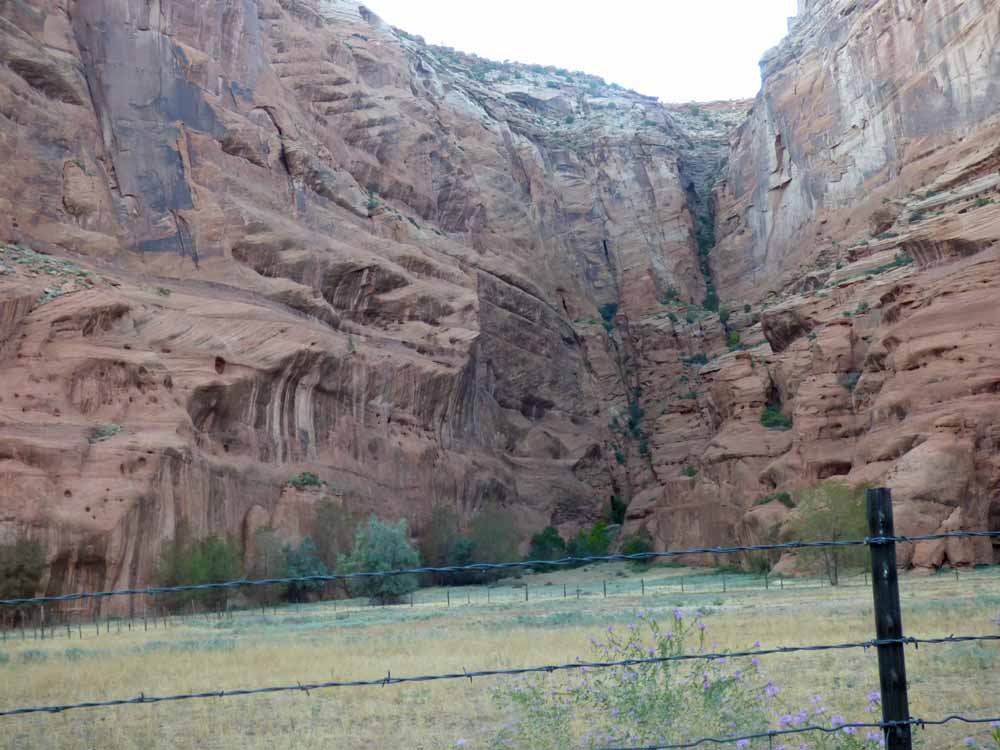
The walls got higher and sometimes the canyon was wide and other times narrow. The sand was almost always deep.

We saw more, larger trees as we got farther in.

I loved this hunting scene. It was made after the Spanish arrived, as it depicts men riding horses.

This figure-eight chiseled into the sandstone is a bit it of a mystery. Our guide said they think it might be some kind of calendar.
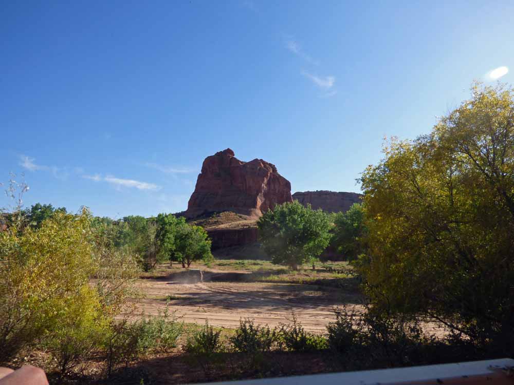
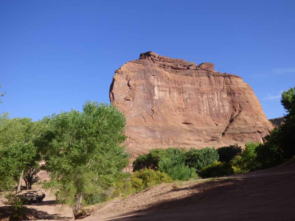
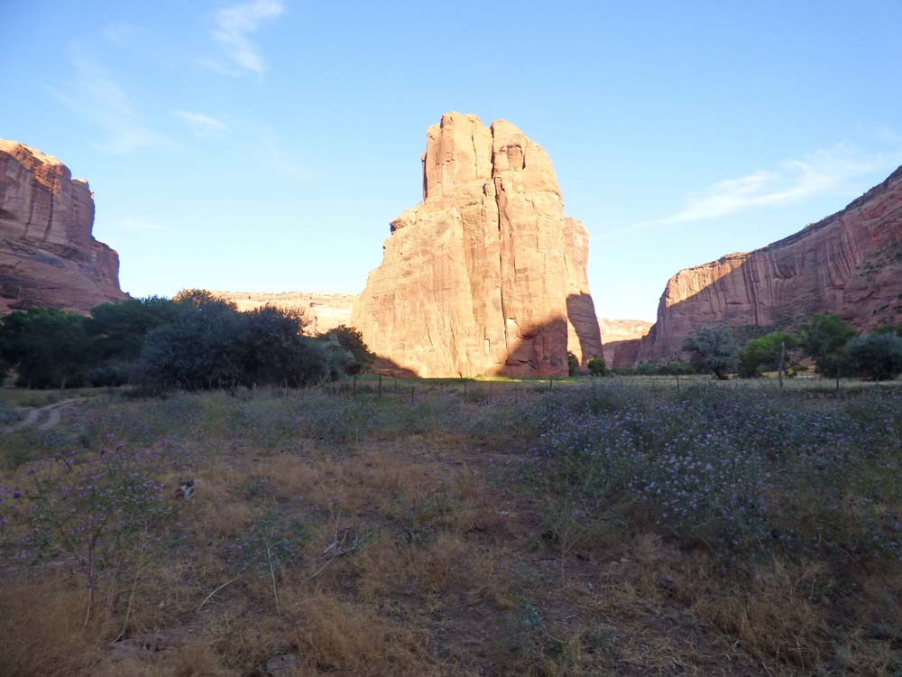
I took a picture of this tower of a rock because it has character.

We began to see larger shrubbery too.
Then the wide, wide beach sand gave way to multiple tracks through the shrubs and trees.
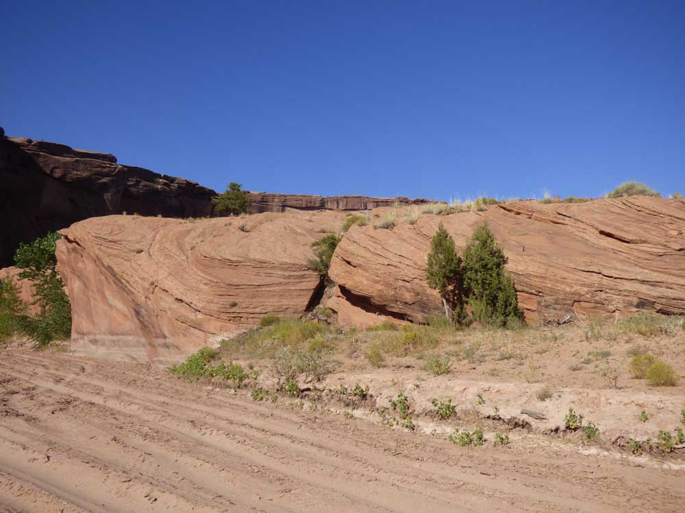
These swirly rocks were not especially tall, but I love swirly rocks
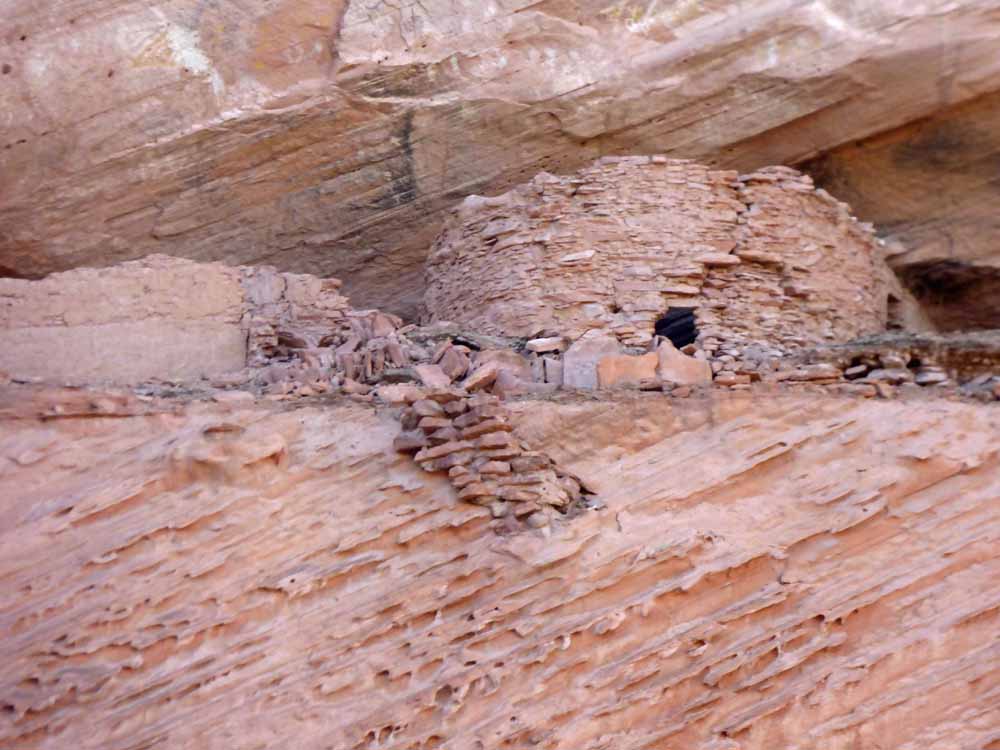
Look, up ahead, there are some ruins high in the canyon wall.

Here’s a closer look.

And, here is the round building up close.
Sometimes, when the canyon was wide, there would be an enormous rock inside. Maybe that was one of the many side canyons. That fuzzy spot near the center of this photo is dust being thrown up by an SUV.


There was often fencing. The Navajo people actually live and use this canyon for farming and raising animals. The tour guide said that most live above the canyon on the mesa in the winter and only one family lives inside year-round.

We spooked a flock of turkeys that flew over the fence when the truck approached.

This may be the mesa rock inside the canyon where the Navajos hid when Kit Carson and his army tried to round them up to ship to a reservation. This excerpt is from the Wikipedia article about him.
Canyon de Chelly[edit]
Main article: Battle of Canyon de Chelly
Carson wanted to take a winter break from the campaign. Major General Carleton refused, ordering him to invade the Canyon de Chelly, where many Navajos had taken refuge. Historian David Roberts writes, “Carson’s sweep through the Canyon de Chelly in the winter of 1863–1864 would prove to be the decisive action in the Campaign.”[53]
The Canyon de Chelly was a sacred place for the Navajo. They believed that it would now be their strongest sanctuary. Three hundred Navajo took refuge on the canyon rim at a place called Fortress Rock. They resisted Carson’s invasion by building rope ladders and bridges, lowering water pots into a stream, and keeping quiet and out of sight. These three hundred Navajo survived the invasion. In January 1864, Carson swept through the 35-mile (56 km) Canyon with his forces. The thousands of peach trees in the canyon were cut down. Few Navajo were killed or captured. Carson’s invasion, however, proved to the Navajo that the United States could invade their territory at any time. Many Navajo surrendered at Fort Defiance, Arizona.[54]
By March 1864, there were 3,000 refugees at Fort Canby. An additional 5,000 arrived in the camp. They were suffering from the intense cold and hunger. Carson asked for supplies to feed and clothe them. The thousands of Navajo were forced to walk to Bosque Redondo. Many died along the way. Stragglers in the rear were shot and killed. In Navajo history, this horrific trek is known as Long Walk of the Navajo. By 1866, reports indicated that Bosque Redondo was a complete failure, and Major General Carleton was fired. Congress started investigations. In 1868, a treaty was signed, and the Navajo were allowed to return to their homeland. Bosque Redondo was closed.[55]
Here is our tour-mobile.
Here are some ruins at ground level. However, the tour guide reminded us that the canyon floor level varied with rains, and over the eons.

A closer look:
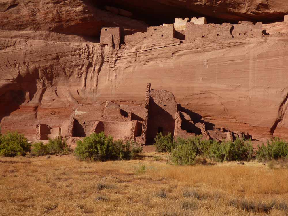
As you probably noticed in the previous two photos, there is a white wall at the back. This ruin is called the White House.

The white house stands out from a distance.

We followed two branches of the canyon. Couldn’t tell you where we were.

Another vehicle was going in the canyon and we came close to it several times. The little SUV gives you some scale.


There are a number of houses in the canyon, some modern and some rustic. What I want to know is how they got that RV trailer in the canyon through all that deep, soft sand.

Here is a closer look at the ruins in the alcove of the canyon wall behind that house.

I do love swirly rocks. Were they mud when they formed or was it erosion or water that did that?

This canyon wall was leaning over precariously. Note the SUV again.


The guy in the petrograph here is standing on his head.

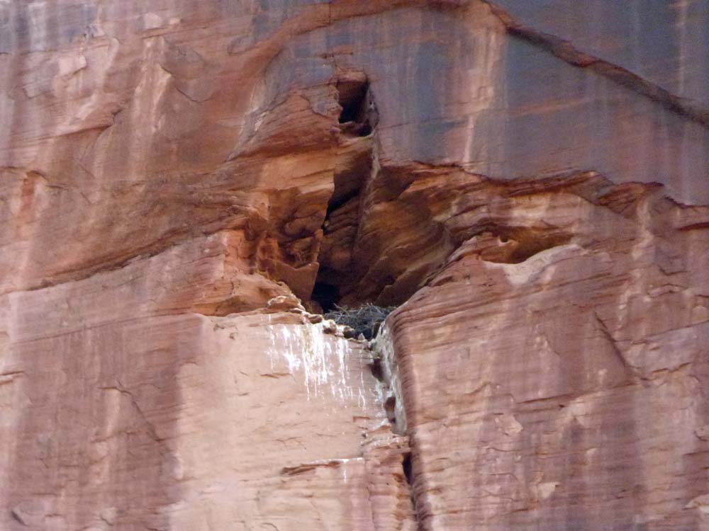
I could see this hole way up high on the canyon wall. So, I zoomed the camera and took a photo. I think it is an eagle’s nest; I saw one flying by as we were riding.
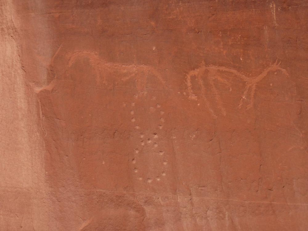
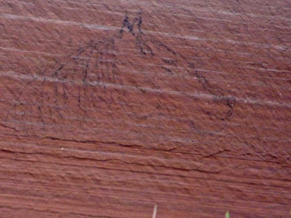
I was shocked to see this very modern petrograph of a horse. The tour guide thought it was from the 1800s.
It doesn’t show up very well here, but the canyon wall makes a right turn. It looks as though there may be a waterfall in the corner.

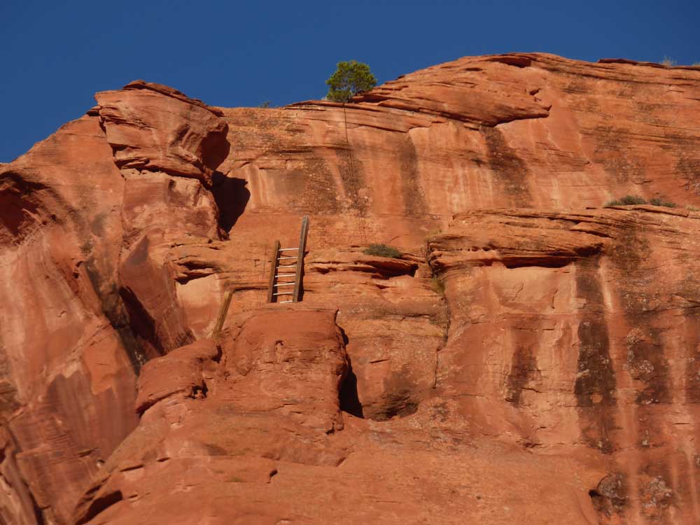
When the Navajo hid on top of the large rock to escape capture by the soldiers, they used these toe-holds to climb down in the night to get water from the stream. It is a mighty high wall. The guide pointed out ladders still high on the wall, but I couldn’t see them.


The guide told us this is Martini Rock and drove the truck so close underneath that I thought it would scrape the underside. Why Martini Rock? Because you get a hangover.

The guide told us that he grew up on the mesa above and he and his brother would climb down the rocks and a couple ladders to get to the canyon floor. It was so high, I could not see the camera until I zoomed and took the picture. It made a Mama’s heart weak. I asked, “Did your mama know you were doing that?” He sheepishly answered, “No”.

I think this is the hideout rock again.

This old ruin was a fixer-upper and now has a modern door and a window.
This may be the story of the Spanish arriving. One of them looks like a priest. Or, it could be the American soldiers forcing Navajo’s to take the Long Walk (same as the Cherokee’s Trail of Tears) to some reservation. The ones who survived eventually returned to Canyon de Chelly.

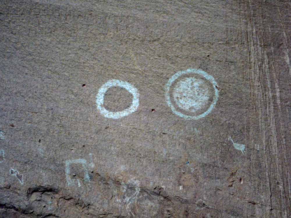
This represents an eclipse.

Some of the sandstone canyon walls look like Swiss cheese.
The tour guide pointed out Poison Rock atop the wall. Why poison rock? One drop will kill you.

At the end of the tour, we stopped in the gift shop at the lodge for something to drink. Something was going on on the lawn. The gift-shop lady said we should go watch. A man talked (too much) and then the dancers would come out to perform. I can’t remember the significance of the dances, but they were extremely energetic with a lot of jumping and spinning. The dancers posed for pictures at the end and I ran to the RV for my camera. I caught them just as they were breaking up, but they got back into the pose for me to take my pictures.

The park brochure says that the earliest nomadic people lived in the canyon from 2500-200 BCE. People settled down via agriculture and inhabited the canyon form 200 BCE to CE 750. The Pueblo people built and lived in villages 750 to 1300. Then the pueblo people left, the Hopi lived here from 1300 to 1600. The Navajo (relatives of the Athabascans in Alaska) lived here from 1700 to 1863 when they were evacuated by the US Army and were either killed or forced to walk over 300 miles to Fort Sumner in New Mexico. They returned to Canyon de Chelly in 1868 and established a chain of trading-posts, focal points in Navajo communities.
Aside from history, brutality, and recovery, Canyon de Chelly is an extraordinary and beautiful place. You can feel. it

You are so right Dinata. Awesome cannot be over used when describing what you have seen over the past week. It really does show our insignificance in the whole scheme of things. Thanks for sharing!
LikeLike
You are most welcome, Peter
LikeLiked by 1 person
One of my favorite places in the southwest. We saw a black bear from the truck. He looks like the same tour guide we had years ago.
LikeLike
Canyon de Chelly is now one of my favorite places too. You can feel the history there.
LikeLike
Maybe the ” Guy talking to much” was giving guests and visitors a greater understanding of the Navajo Nation and people.. which many people appreciate.. Guess you weren’t there to broaden your understanding of the Navajo People… You were just there to get your tourist experience and nothing more..
LikeLike
It may sound shallow to say he talked too much, but he was rambling on without broadening our understanding of the Navajo People. How can you know why I was there?
LikeLike