We had Cheerios and coffee for breakfast. Then we disconnected the utilities and got underway at 0853 Eastern. South Dakota is so beautiful! Since Mequon, the scenery gradually changed from dairy farms on glacial moraines to flatter farmland. Then corn gave way to cattle. About halfway across South Dakota we went over a rise and saw the Missouri River flowing through a huge valley. The west side of the river was covered in steep hills. Gradually, the countryside was a bit less green. We stopped for lunch in Rapid City, just before the Black Hills. We have driven through the Black Hills before, but I just have to say they are also pretty from the Interstate. Yes, Wyoming is so beautiful too!
We drove I-90 all the way to Sundance, Wyoming, 423 miles. I saw this billboard (or one just like it) soon after crossing the border. The picture is the Devil’s Tower. I enjoyed the clever wording. I got this picture online and noticed that they have a whole series of Wyoming scenes with this wording on billboards

We stopped in the visitor center to ask about wildfires on the way to the Grand Teton National Park. Then we asked about the rest of our itinerary as far as Lassen National Volcanic Park. There is only one road on our plan that is affected, but there is a simple alternative.
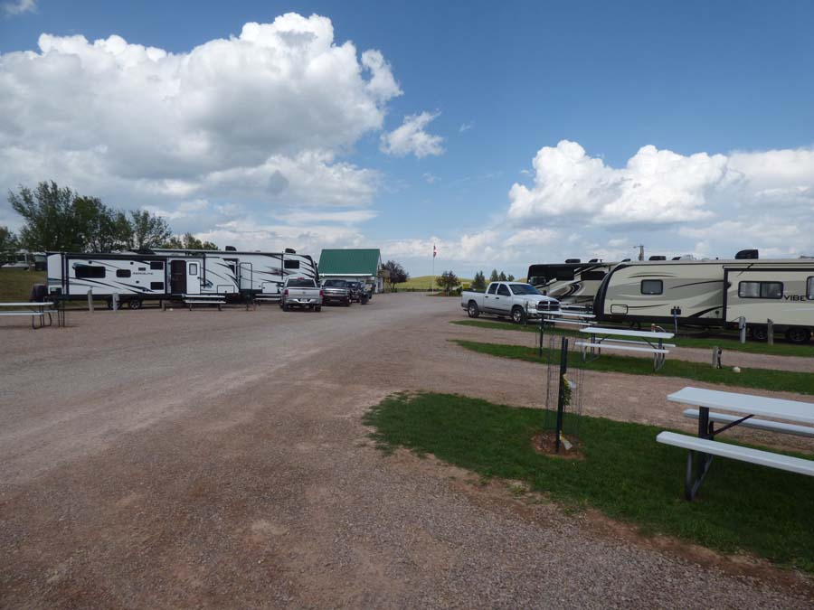
Tonight, we are in Mountain View RV Park and, indeed, we do have mountain views all around. Small, but mountains nonetheless.
This hikeable hill is behind the RV park.
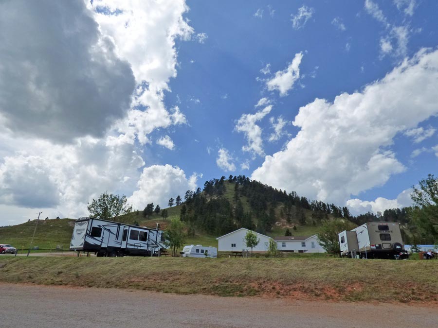
The RV park is located on the side of a large hill and there is a grand view behind Scamp.
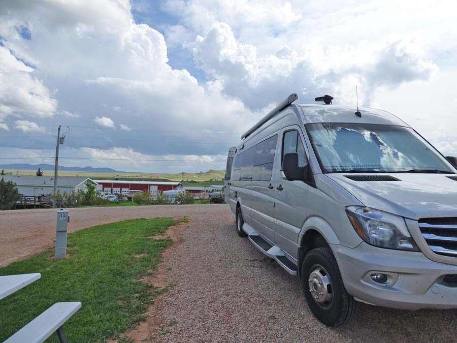
It’s more grand than these pictures show.


Not sure of your destination, but we made a trip out west a couple of years ago. Were stymied by wildfires from seeing all the national parks we had planned on visiting. Grand Teton and Yellowstone were two that we did get to visit. It was crowded, but not too crowded. We were there in Sept. My impression of the whole west is that it is so VAST! But Tom took full advantage of the higher speed limits. 😊
Elinor
Sent from Mail for Windows 10
LikeLike
The woman in the visitor center just pulled up a map online that show locations of fires. She zoomed in and out, just like Google maps and could click for more info. I have’t tried to look it up myself yet, but will during this trip, for sure. I have been driving faster than usual too. With Sao, I just did my normal 60mph. With this little van, I’m doing the speed limit! 70 to 80 mph most of the day.
LikeLike