The Island in the Sky district of the Canyonlands National Park is a mesa about 2,200 feet above the confluence of the Green and Colorado Rivers. We could not see any water though; the rivers were down in canyons within the canyon.
The drive to get there from Moab was a stunning drive up a canyon road and then up onto the mesa. Our first stop was the visitor center where we got advice on where to walk (based on Andy’s abilities) and where to eat lunch. Then we watched the movie.
There is an overlook across the road from the visitor center, so we took a look. Wow, what a view. I was shocked to see a road below us. It is Shafer Trail Road and I am not going to be driving on it. I watched a car driving on the road from the left and then disappear below us. I waited for it to reappear on the right. When it did, two other vehicles came from the opposite direction around the bend. It caused quite a stir with the busload of French speaking people watching with us.

But, there was plenty of room and no one fell off the edge.

The trees at the overlook were loaded with open pine cones that looked like wooden flowers.

We drove to the picnic area almost at the end of the road. This was our dining room today.

After fueling our bodies, we drove on to the Grand View Point overlook. The view was amazing. There is another huge canyon down there at the bottom of the canyon. I think the upper level in this picture is called the White Rim. Four-wheel drive vehicles can drive on the dirt roads down there. The Colorado River is down in the tiny dark streak in the back left. It said so on the sign board.

Just to the right of the overlook is the beginning of the one-mile Grand View Point trail along the canyon rim.
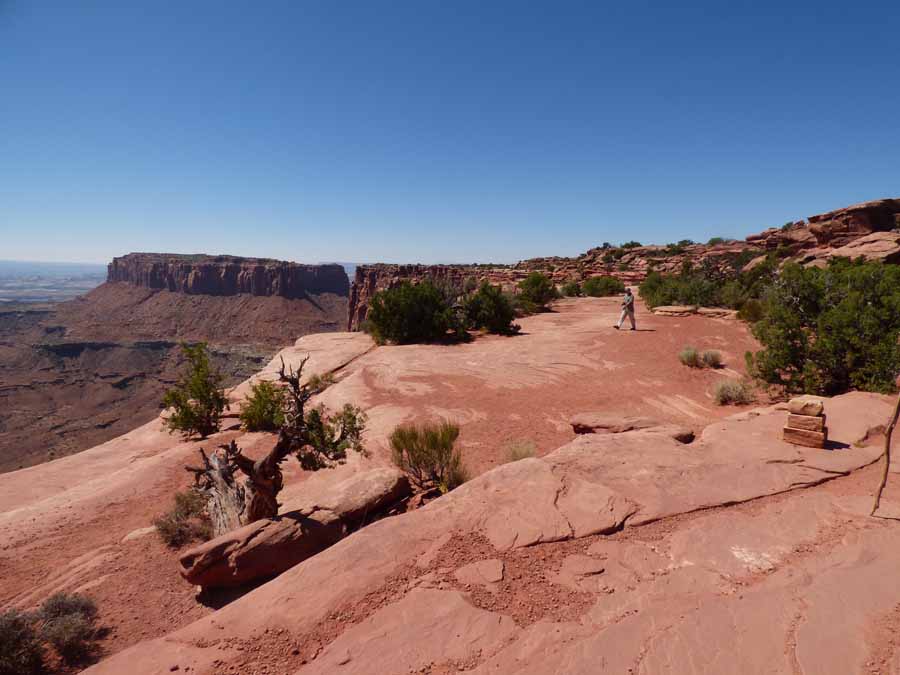
I did not venture out onto any rocks that had a crack between me and them. I also did not get too close to the edge.

There were a lot of very nice steps made of stone. The trouble was that most of them were high and it was very tiring to walk up them, up or down. I was tired before we were too far out. That could have had something to do with the elevation. We were at 6,080 feet.

This large rock was at the tip of the point. Other hikers climbed to the top. We sat in the shade and enjoyed the view 15 or 20 feet lower.

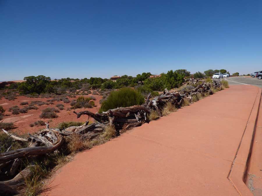
There must be miles of this fencing made from old gnarly trees in the park. We compared it to the split-rail fence that Spence rebuilds constantly at Big Creek in the Smokies.
This is Candlestick Tower. the park map says it is 5,760 feet. That means the elevation at its base. It is huge and impressive standing out on the plain below.

Andy called this Gelato Mountain and decided we should stop for some gelato when we got back to Moab. So we did.

We drove to the Upheaval Dome parking area, but did not get very far along the trail when Andy decided that it was to steep and rough for him.
When we got to the stop for Mesa Arch, the parking lot was full and a huge tour bus was disgorging passengers. We decided to come back another day.
