I always say you can tell how much fun I had by how many pictures I take in a day. Today I took nearly three hundred. I had never heard of Capitol Reef National Park before studying up on the Utah parks a few years ago, but I am so glad we went there. It is 146 miles away from Moab. We drove the car, not Sao. It was still a twelve-hour day.
First, an explanation of the park. It is a geological phenomenon. The park has a great explanation of the Waterpocket Fold that was created by a “mountain building event”, which I interpret as an earthquake. The entire entire Colorado Plateau (four states) was subsequently lifted about 7,000 feet between 50 to 70 million years ago, give or take a dozen years. It is literally a 100-mile fold on the surface of the earth. Here is a picture from the park’s web site.

The name of the park, Capitol Reef is from two sources. Capitol is for the white sandstone dome that reminded early travelers of the U.S. capitol building. The Reef comes from the wall of rock along the fold, which was a barrier “reef” to early travelers.

Our first stop was the visitor center to get touring advice. We watched the excellent movie explaining the geological forces that shaped the park. Our next stop was the Gifford House, where we had pie and coffee.

This is the barn.

Then we drove all the way to the end of the road and walked part way down the closed Capitol Gorge Road. I have never even seen the show, but I recognized Bart Simpson while driving down the road.

People have used this wash as a road for many years. It is subject to flash floods, as are many areas of the park.


This is the Grand Wash. It has formed a narrow canyon. There is a very narrow section, but we did not get that far.


This water-eroded sandstone rock had big holes. It was big enough to sleep in.

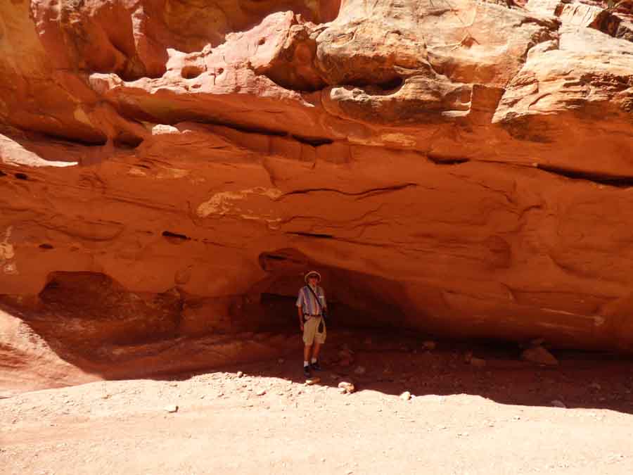
We stopped for a drink of water in the shade of this rock overhang.

These two uranium mines were along the Grand Wash. We didn’t get too close.

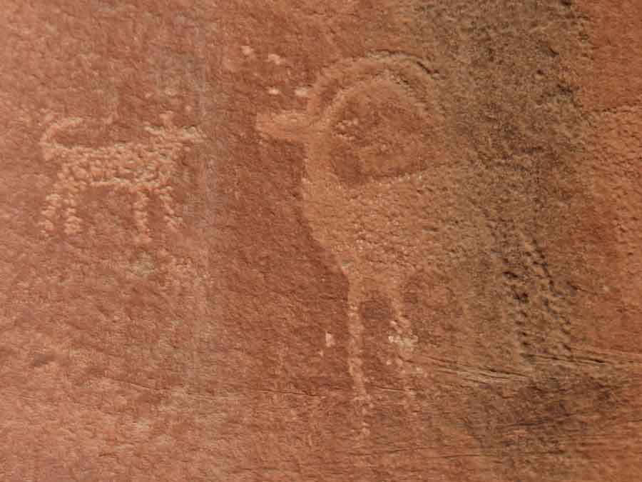
The park has petroglyphs created from 600 to 1300 C.E. by the Premont Culture. Unfortunately, early settlers and modern tourists have added to the wall. But in a thousand years, their marks may be of interest too.


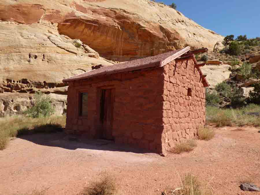
This is the Behunin cabin, built in 1882 by Elijah Cutler Behunin. The spot turned out to be flood -prone and the family moved to higher ground. They had eleven children, so I hope the next place was a little bigger.
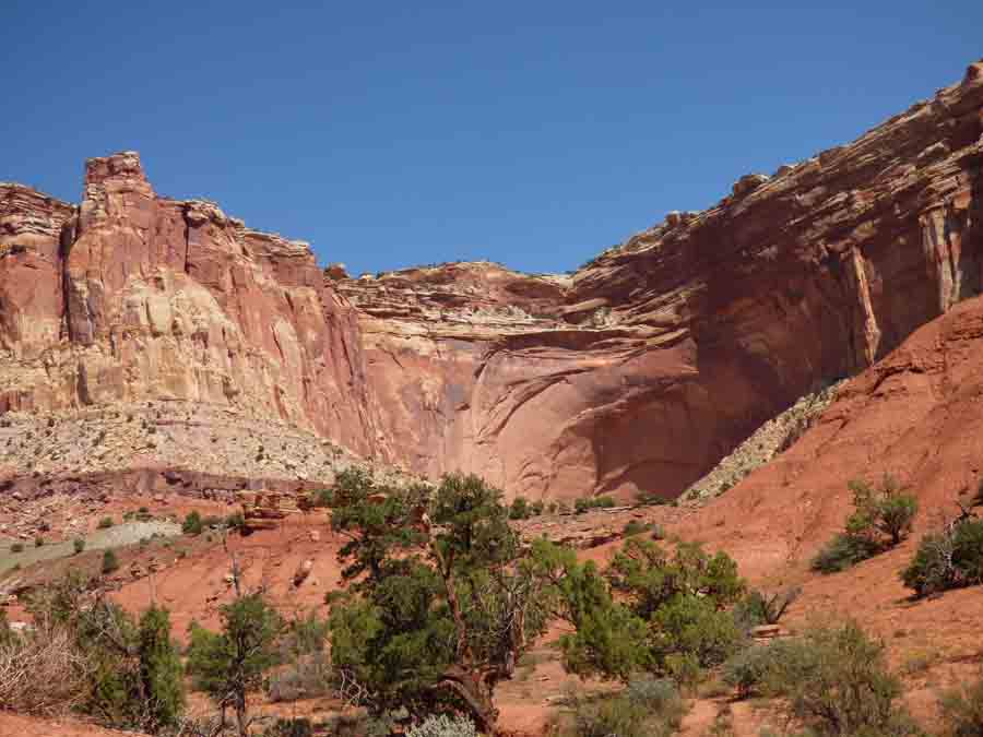
This is a huge “concert shell” in the cliff a good distance off the road. We haven’t figured out why sandstone breaks off in that arch shape.
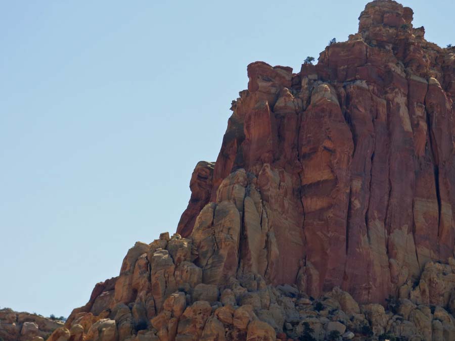
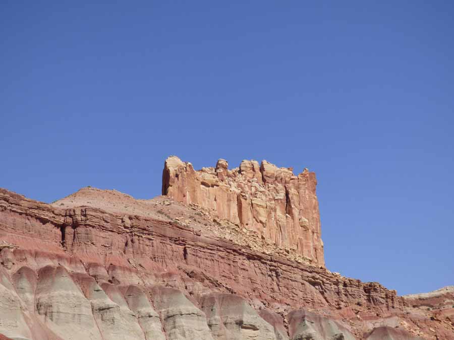
This castle is gigantic atop a gigantic cliff.
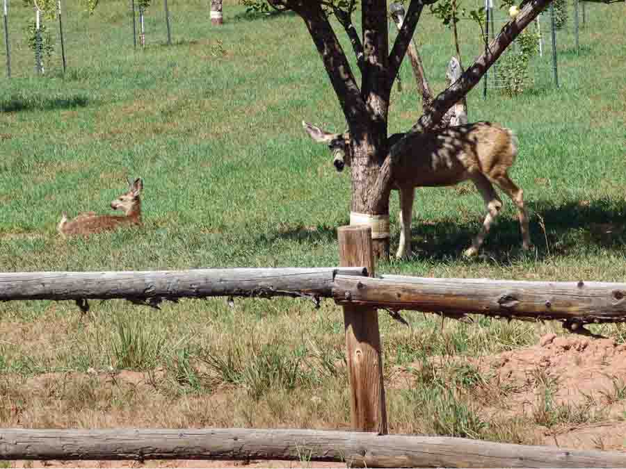
The park has several fruit orchards planted by the Mormon settlers. This doe was eating apples while her fawn rested nearby.
This formation is called the Egyptian Temple, but I didn’t get a picture at the best angle. Again, it is massive. The pictures just don’t capture the size and Andy wouldn’t climb up there for scale.

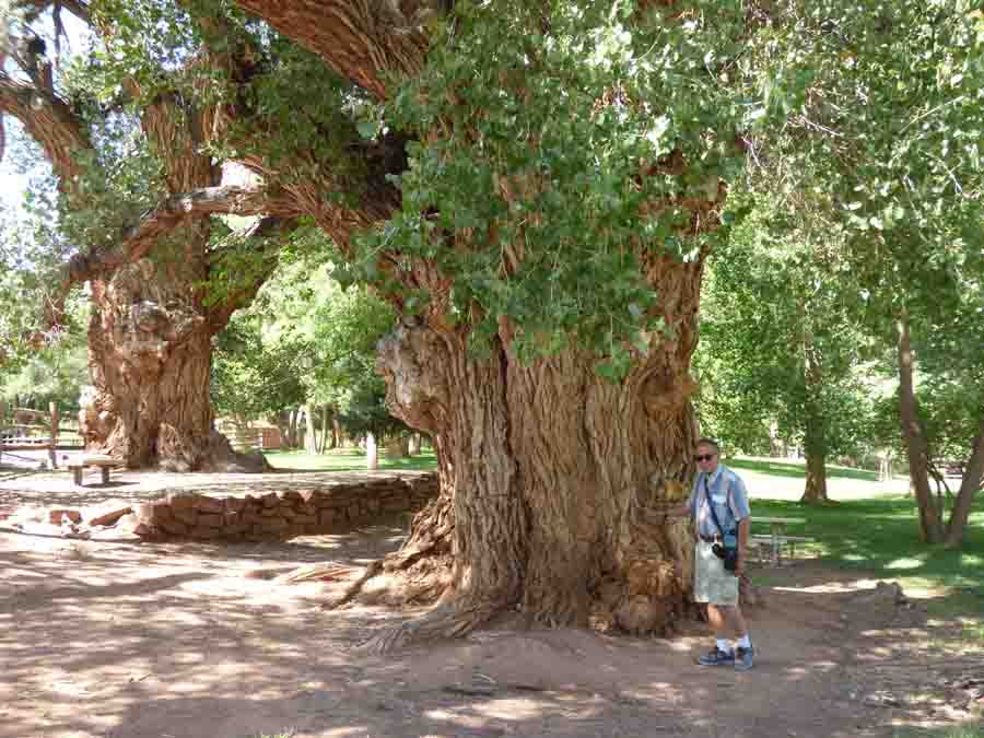
According to the sign, these phenomenal cottonwood trees were saplings when the Mormons arrived in 1880s. We did not see any other trees so large or as gnarly.
I think they built their schoolhouse a little too close to the cliff where the children could be crushed by falling boulders.


Marvelous pictures and descriptions, Dinata. Regarding the “Simpson” formation, that’s actually Bart’s Dad, Homer Simpson.
LikeLike
Oh! Thanks. Looks like I got the right image though. I said I’ve never seen the show!
LikeLike